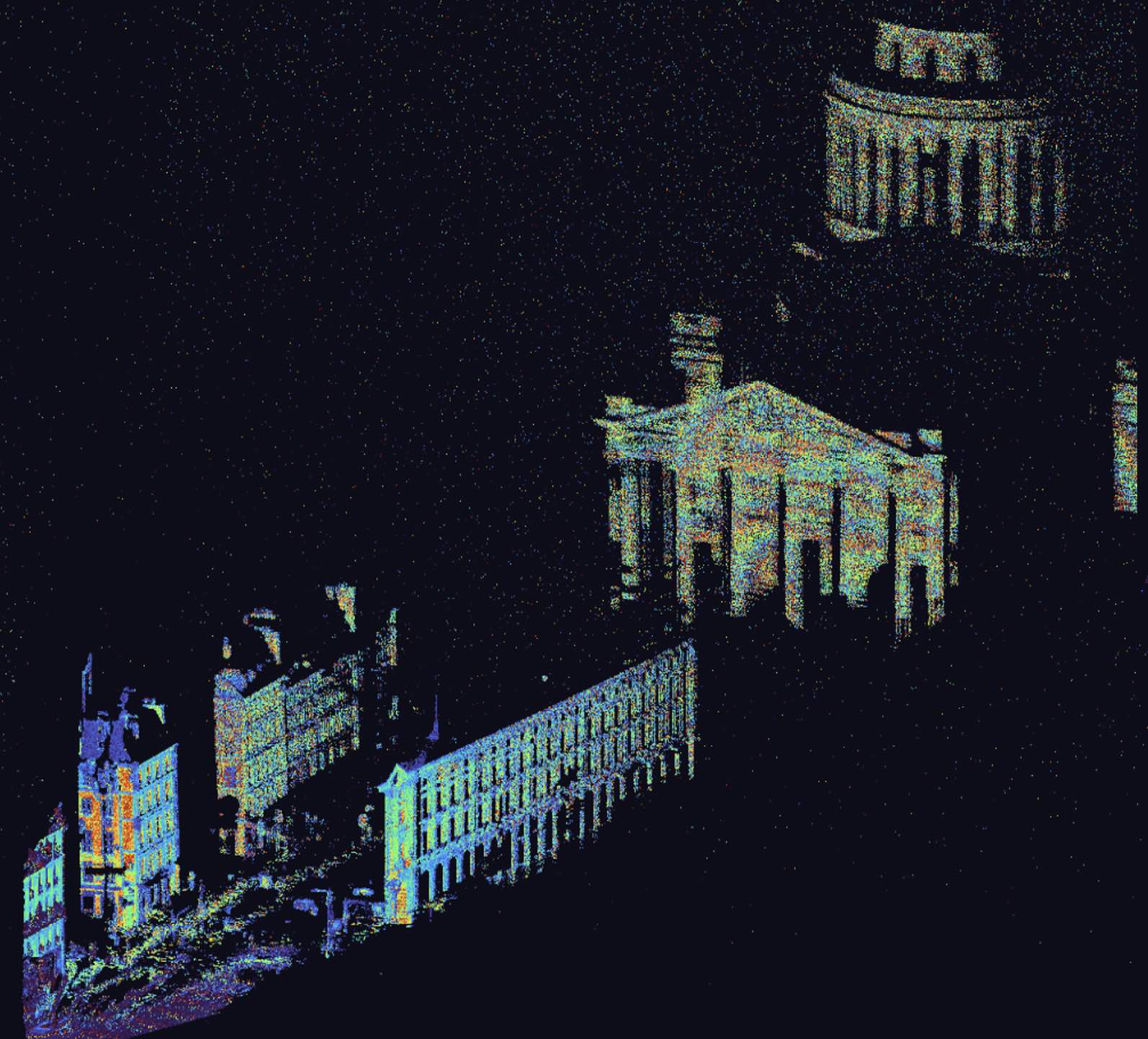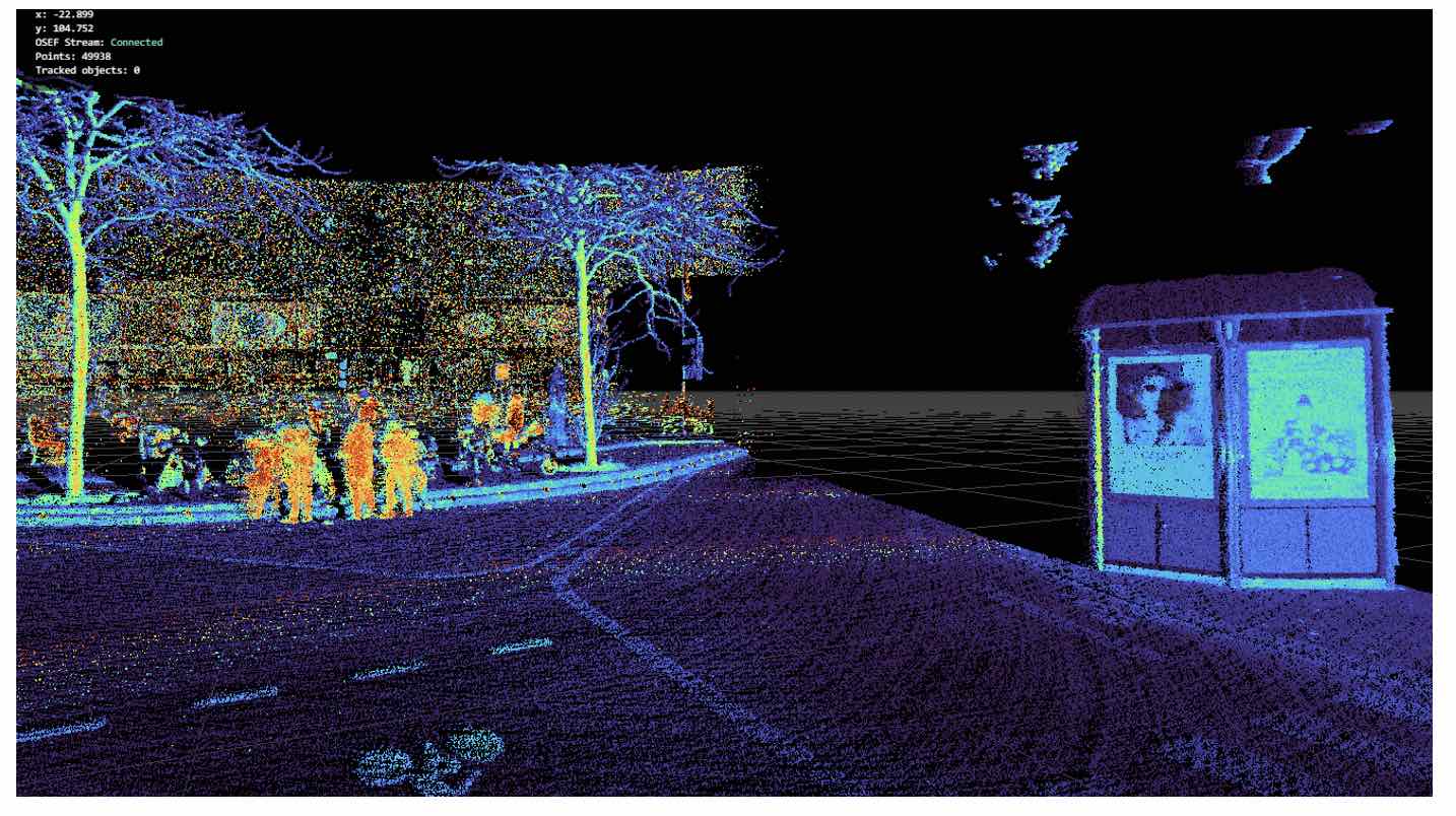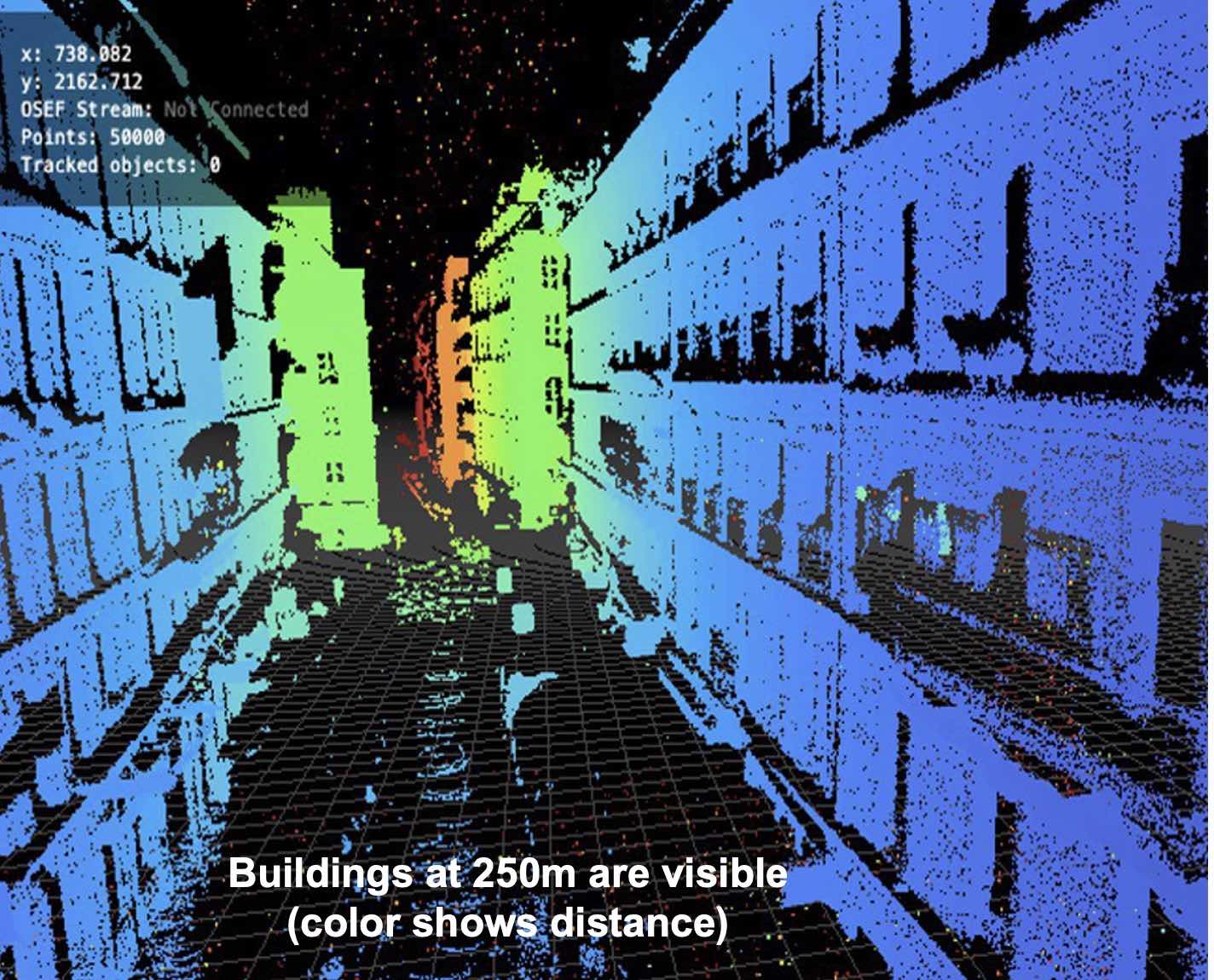
- Long Range LiDAR (300m) based on a unique robust and low cost laser technology
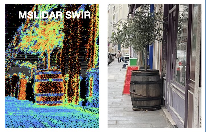
- 5 colors LiDAR in the infrared (SWIR)
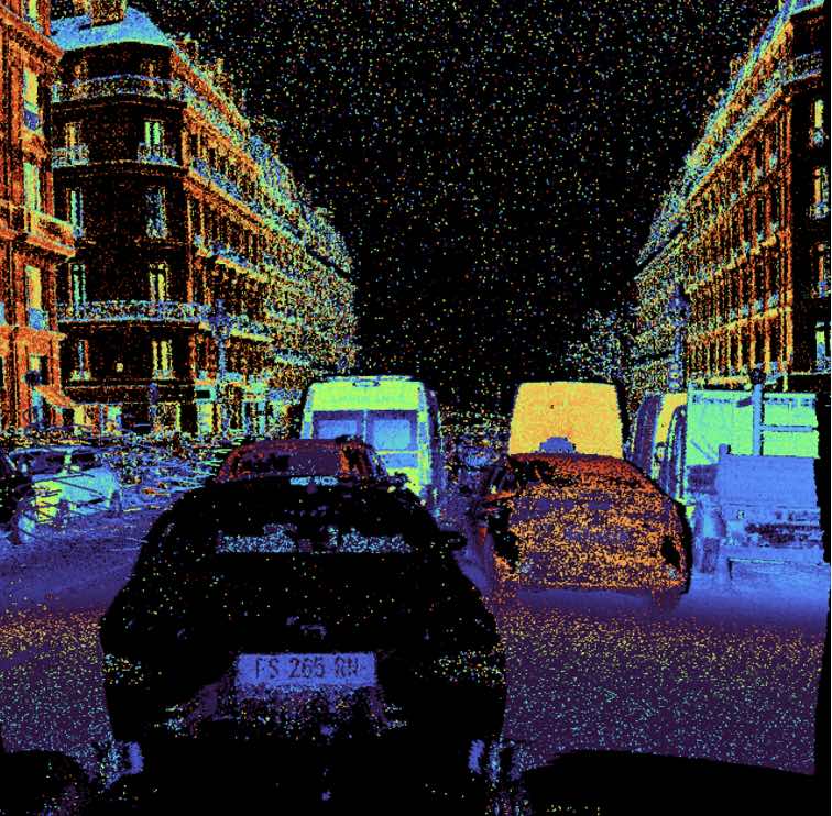
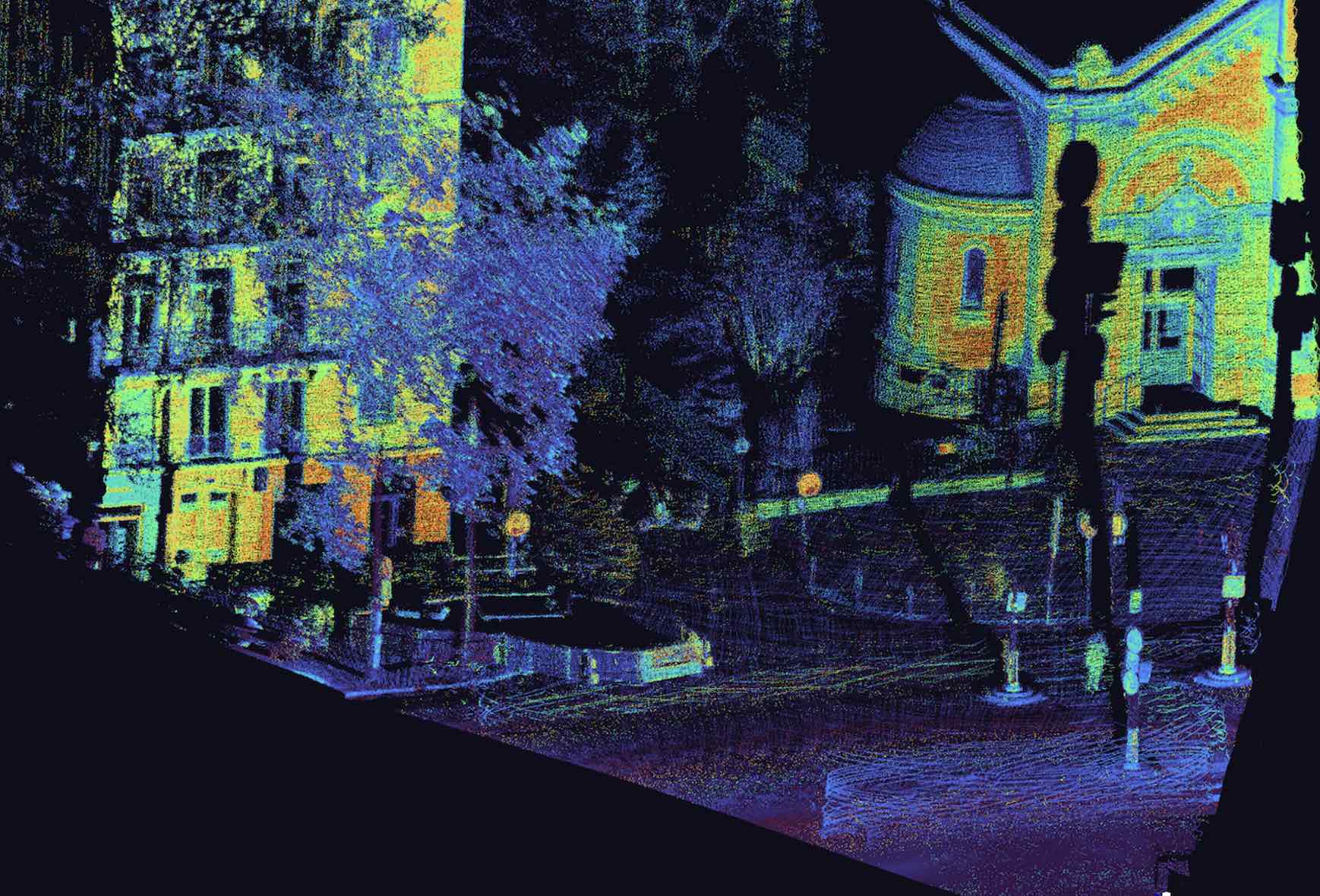
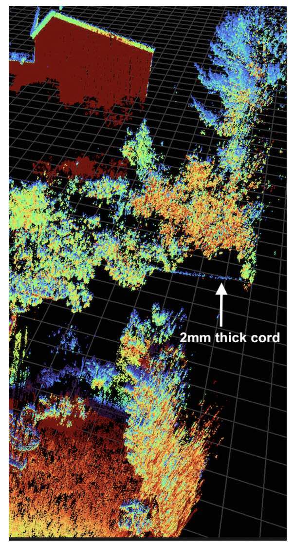
- Very High resolution, beat the one of standards 2D cameras
An advanced Multispectral 3D Perception solution to optimise resources and reduce carbon footprint
LiDARs are active sensors, emitting their own light, performances does not depend on lightning conditions. They also deliver native 3D informations (volume, angles and distance). The features of our LiDAR technology are unique :
To map / monitor the environment in 3D and recognize the chemical composition of objects
3D up to 300m
+
SWIR Spectral Analysis without Calibration
Technology
Spectral Power without Calibration
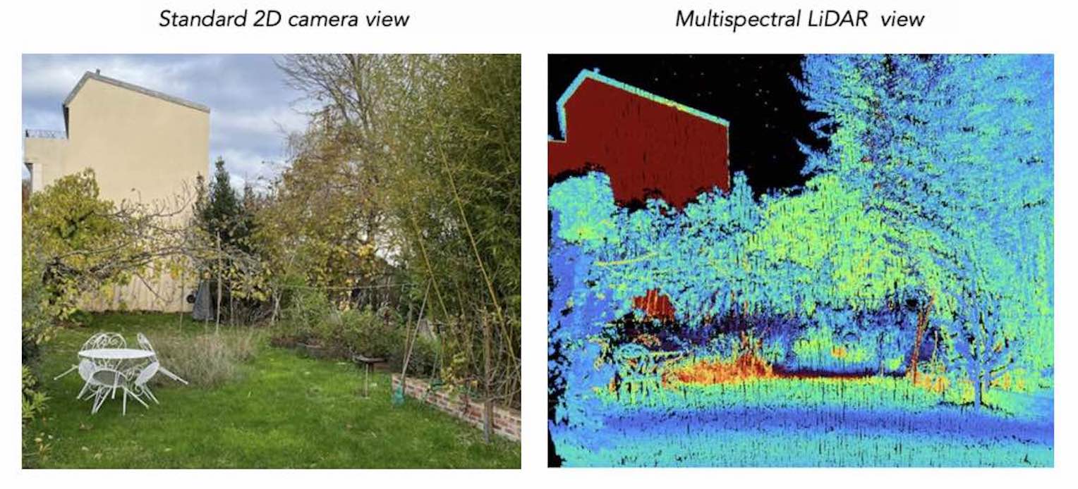
Hydratation state / Plant health
In the 3D Multispectral LiDAR view, the long dried herbs appear in red
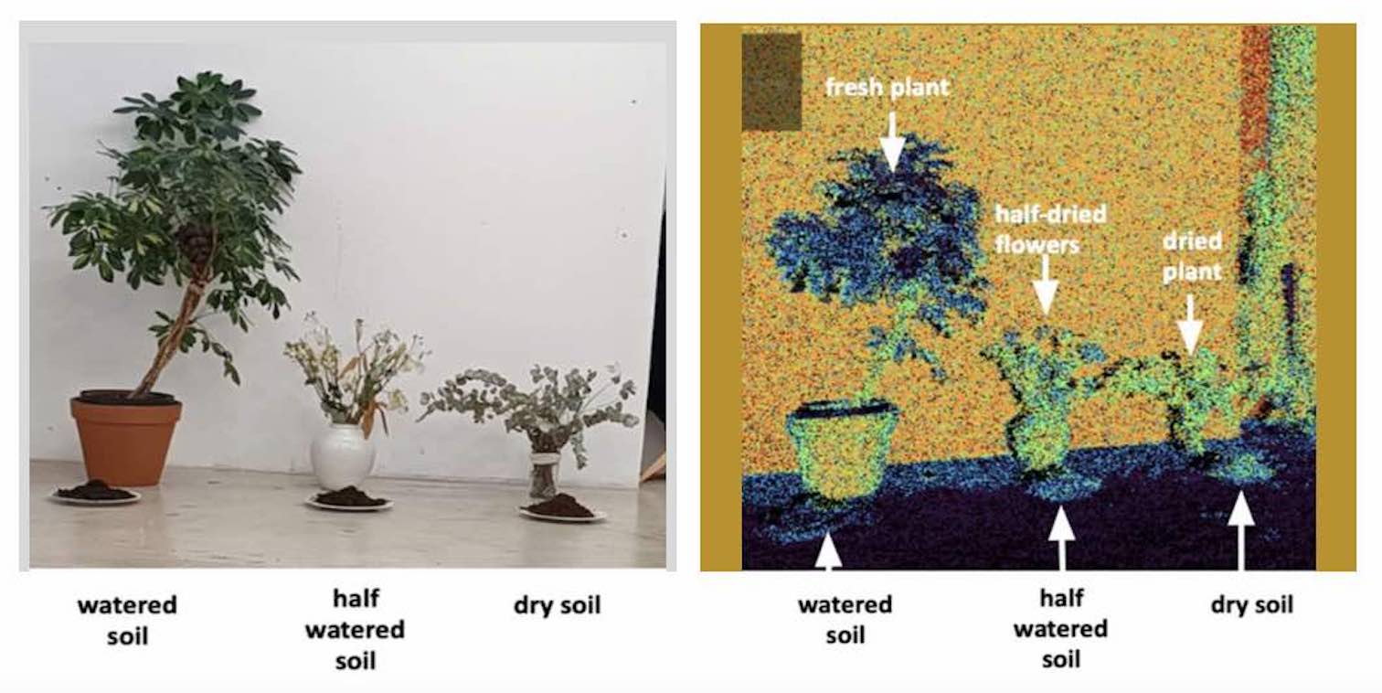
Water content
Standard camera shows black soil whatever the water content. SWIR Multispectral LiDAR shows the different grades of soil humidity
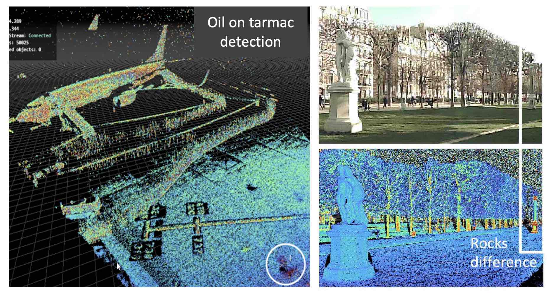
Pollutant detection
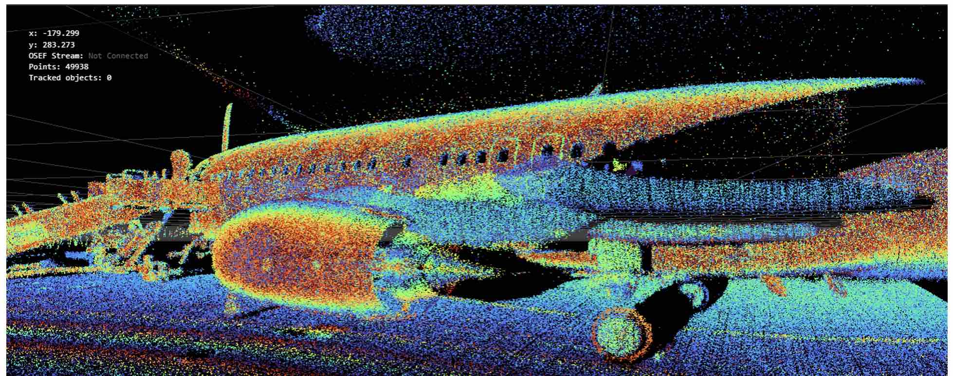
Oil released on tarmac by aircraft motors is clearly seen by our SWIR Multispectral LiDAR
Rocks recognition
The different types of rocks in the column are highlihted by the SWIR Multispectral LiDAR, while the standard camera cannot see any differences
Product
Specifications
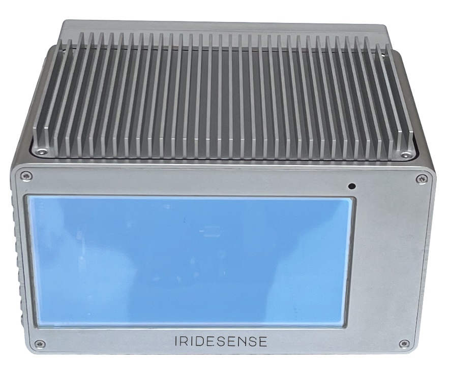
SWIR emission (1400-1700nm), many advantages
Higher power allowed / eye safety allows high range 300m, 200m @10% reflectivity - 10 times higher resistance to sun blooming
A unique asset
Proprietary robust and low cost solid state laser technology >3kW peak, ns, 500kHz, wideband in SWIR
A High resolution 3D LiDAR
At each frame, the laser beam is scanned at different position of space - Instantaneous perception is much richer in static but also in dynamic
Spectral Power
Many materials have absorption bands in SWIR and can be recognized
Interested ?
Email : contact@iridesense.tech
Construction and Mining --- Agriculture and Forests --- Waste Management --- Airports --- Quality and Integrity Check --- Logistics
Applications
Markets
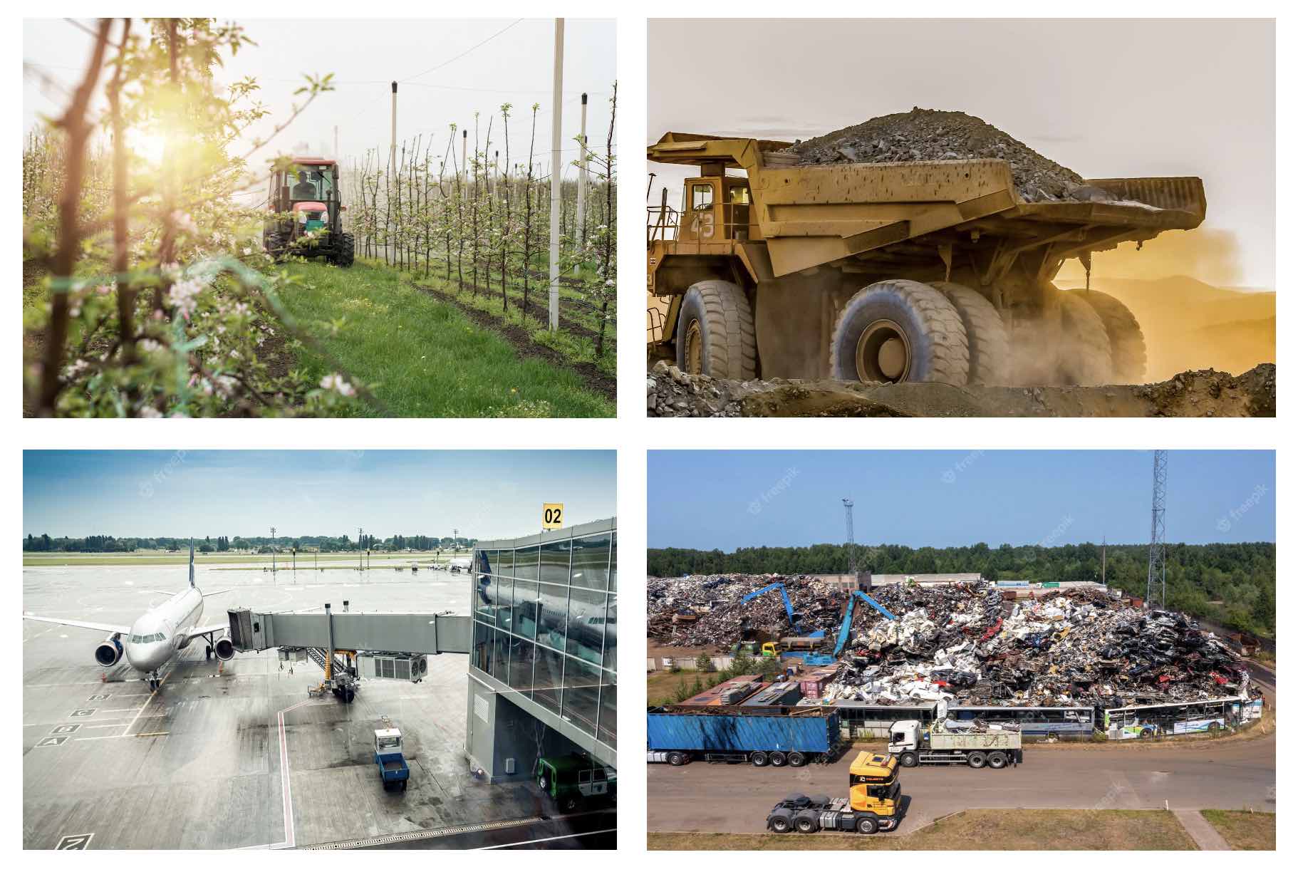
Agriculture and Forest
Combined monitoring of growth and hydratation - Species and pest monitoring - No lightning dependency - Machine localization /navigation
Construction and Mining
Polluted soil sorting - Exploration and 3D cartography - Simultaneous volume measurement and ore recognition - Active, no ligthning required - Machine localization /navigation inside tunnels
Airports
Monitoring of boarding gates - Detection of lost / dangerous objects - Detection of pollutants (oil…) - Monitoring of aircraft repairs
Waste Management
3D cartography - Simultaneous volume measurement and waste segmentation - Active, no ligthning dependency - Moisture measurement
Partners
They support us


Contact
Contact Us
To get more information
Email : contact@iridesense.tech
Address
IRIDESENSE
ESPCI PC’UP, 10 rue Vauquelin, 75005 PARIS, FRANCE
Metro/Subway : Censier Daubenton


